
When the road to recovery crumbles
In early 2023, a rural farming county in California's Central Valley watched its backroads buckle under severe flooding. Pavement that had been perfectly passable a week earlier sat cracked and sagging once the waters receded.
Farmers, school-bus drivers, and emergency crews all knew those roads had been fine before the storm. Yet when the county applied for FEMA Public Assistance (PA) to repair a collapsed rural road, it hit a wall. FEMA denied the funding — there wasn't enough proof the disaster, as opposed to ordinary wear and tear, caused the damage.
The catch? FEMA wanted dated “before” photos showing the lane had no major cracks prior to the flood — a near-impossible ask for a remote country road no one had reason to photograph in its intact state. The episode captures a widening disconnect between FEMA's documentation rules and the reality on rural roads after a disaster.
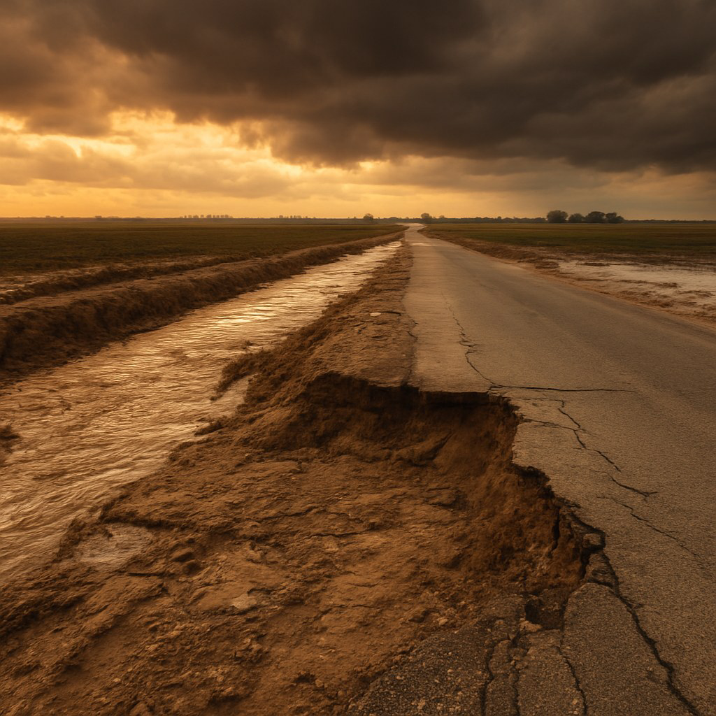
The catch-22: prove the road was pristine before the storm — using dated photographs no rural county ever had reason to take.
FEMA's eligibility gauntlet: rules vs. reality
FEMA's PA program runs on strict rules meant to ensure federal dollars pay only for damage directly caused by a disaster — not pre-existing defects or deferred maintenance. In principle, that's sound stewardship. In practice, proving direct causation can feel like an evidentiary gauntlet, especially for under-resourced communities.
When damage resembles something that accrues over time — potholes, “alligator” cracking — FEMA's default is ineligible, on the logic that such damage is rarely caused by a single event. The burden lands squarely on the applicant: prove the road was in good condition before, and prove the disaster is what broke it. Absent compelling evidence, the answer is usually no — leaving rural officials feeling guilty until proven innocent.
The documentation trap: the impossible “before” photo standard
FEMA's documentation expectations lean on pre- and post-disaster photos or video to establish road condition. Reasonable for a monitored urban arterial; unrealistic for low-traffic rural roads that are rarely photographed except by chance.
In the Central Valley case, officials were asked to produce dated, pre-disaster images proving the flooded roads were defect-free. The county had none. It offered maintenance logs, sworn staff statements, and an engineering report confirming flood-related pavement failure — and FEMA remained unconvinced, defaulting to long-term neglect in the absence of photographs. The request was denied.
FEMA policy doesn't explicitly mandate photos, but in practice clear visual proof is what carries the day; without it, damage gets attributed to pre-existing conditions. Small rural governments rarely have the resources to routinely record every culvert and country lane — so when disaster strikes, they begin at a documentation disadvantage even when local knowledge plainly points to disaster-induced damage.
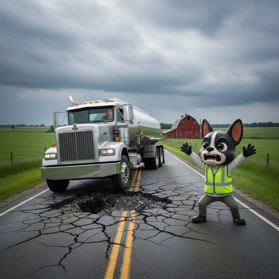
Where policy collides with reality
Rural America's roads operate under a very different reality than urban infrastructure. A big city keeps condition surveys and inspection archives. A small county highway crew “knows by heart” which roads were graded or patched last — but holds no formal records unless something notable happened.
Hidden damage is real
In floods, the worst damage is often subsurface. Floodwater saturates and weakens the road base — turning the soil or gravel beneath the asphalt to soup. The surface looks intact when the water recedes, so everyone assumes it survived. Then a loaded fire truck or farm tractor crosses, and the surface cracks, sinks, or collapses — sometimes days or weeks later.
- 1Flood saturates the base
Water turns the soil and gravel beneath the asphalt to soup, hollowing out structural support.
- 2Surface looks intact
Once water recedes the pavement appears fine — everyone assumes the road survived.
- 3First heavy load → collapse
A fire truck or tractor crosses days later; the surface cracks, ruts, or fails outright.
Hurricane Zeta — Mississippi, 2020
A coastal Mississippi city found that hundreds of wooden pilings beneath its harbor piers had been structurally compromised by the storm. Above the waterline most pilings still looked okay, but acoustic testing showed internal loss of material below. FEMA agreed to fund replacement of the 37 visibly broken or leaning pilings — and not a penny for the remaining ~1,300, because no pre-storm test data proved those weren't already deteriorated.
On appeal, FEMA's board found the city “has no baseline” for each piling's pre-storm condition and thus “failed to establish that Hurricane Zeta, as opposed to the cumulative effect of age and past events, caused the alleged failure of 90.5% of the pilings.”

A widespread pattern — U.S. Virgin Islands, 2017
This isn't one county's fluke. After Hurricanes Irma and Maria, USVI officials reported that FEMA deemed roughly 80% of the territory's storm-damaged roads ineligible — attributing the damage to pre-existing conditions and citing a lack of maintenance records.
At a public hearing, the territory's disaster-recovery director testified that FEMA demanded extraordinarily specific maintenance documentation for each road. As one recovery consultant recounted: “We showed them videos of water coming down the hills and they [FEMA] are saying if the roads were properly maintained they could not have suffered damage” — a stance local experts called absurd.
The documentation hurdle hits anywhere infrastructure is older or records are sparse — mainland counties, tribal lands, and island communities alike. Well-resourced jurisdictions with logs, surveys, and imagery clear FEMA's proof bar; everyone else is presumed at fault until they produce evidence they were never funded to collect.

The cost of proving it: spending dollars to chase pennies
When FEMA says no, applicants can file a first appeal, then a second — each demanding more evidence: geotechnical core samples, sworn affidavits, years of maintenance logs, historical budget analysis. All of it costs money — often tens of thousands in engineering and consulting fees. FEMA reimburses management costs (Category Z), but the allowance is capped at roughly 5% of the project award.
The arbitration off-ramp
Congress in 2018 gave applicants an alternative to FEMA's slow second appeal — binding arbitration before the Civilian Board of Contract Appeals (CBCA). Independent panels have overturned FEMA's strictest readings: one found a submerged roadway eligible even though FEMA argued only fully impassable roads should qualify; another reversed a denied dam repair despite maintenance-paperwork gaps. When outside scrutiny applies, FEMA's stance doesn't always hold water — but small towns shouldn't have to lawyer up for common-sense recovery aid.

The path forward: how do we bridge the gap?
Can FEMA keep accountability over federal funds without putting rural and under-resourced communities through the wringer? Many experts think so. Four ideas are gaining traction.
Embrace alternative evidence
Let a mosaic of secondary proof satisfy causation: maintenance logs, work-order histories, crew reports, post-event engineering analysis, and affidavits from long-tenured staff.
Context-aware damage review
Weigh the disaster’s footprint instead of judging each segment in a vacuum. Clustering of failures right after an event should shift the presumption toward eligibility.
Invest in baseline data
Help small jurisdictions document infrastructure before disaster strikes — low-cost dashcam or drone runs, periodic surveys, and affordable satellite imagery.
Joint assessments & local insight
Pair FEMA inspectors with the county road supervisor for a side-by-side field evaluation, turning local knowledge into a credibility asset and cutting disputes.
Conclusion: paving a fairer road to recovery
When a disaster strikes a rural county or tribal community, the paperwork that follows shouldn't become the second disaster. The current “prove it or lose it” approach to road damage — well-intentioned against waste — can border on absurd when applied without flexibility.
Rural and underserved communities aren't asking for a free pass; they acknowledge that routine maintenance is their responsibility. But when nature truly wrecks their infrastructure, they deserve a Public Assistance process that meets them where they are. By accepting alternative evidence, weighing the context of widespread damage, helping build baseline data, and listening to local expertise, FEMA can uphold strong stewardship of federal funds while leveling the field for those who don't have a photo album of every country road.

How GrantCity Consulting helps
GCC builds the causation case rural and under-resourced applicants can't build alone — assembling alternative-evidence packages, engineering failure-mechanism narratives, structuring Category Z-efficient appeal strategy, and providing CBCA arbitration support. When the road to recovery is blocked by red tape, we clear it. Your Recovery, Our Priority.